
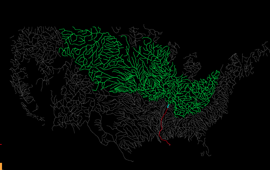
This mapping application displays the largest rivers in the continental United States. Move your mouse over the map to display the upstream and downstream river network in green and red respectively.
The name and 2014 monthly flow information of the river directly below you cursor is displayed in the column chart to the left.
The radial chart in the upper left-hand corner is a hierarchical representation of the stream network. Chords at the center represent stream terminations at either the ocean or international border.