Messing With The River Test
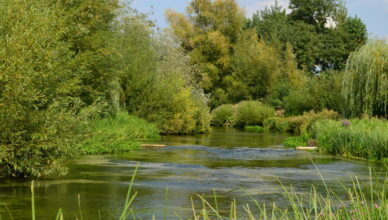
The River Test is an internationally renowned chalk stream. Southern Water has installed equipment to pump waste directly from underground sewers into the river. It …

The River Test is an internationally renowned chalk stream. Southern Water has installed equipment to pump waste directly from underground sewers into the river. It …
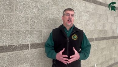

Situated in Michigan’s northern Lower Peninsula, the Au Sable is one of the country’s most revered sportfishing destinations. Researchers from Michigan State University are now …
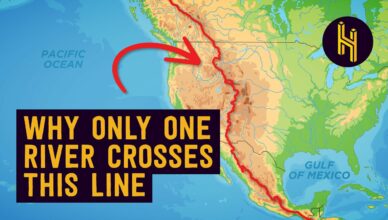
Half as Interesting take a look at the way water flows in North America, and focuses on a singular anomaly in Wyoming. That’s the home …
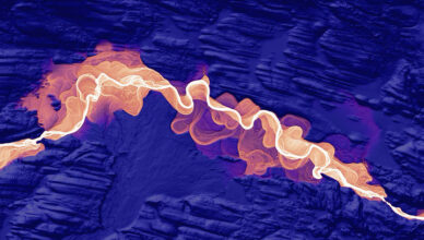
Dan Coe is the Graphics Editor for the Washington Geological Survey in Olympia, Washington. He constructs beautiful high-resolution river and delta images from North America …
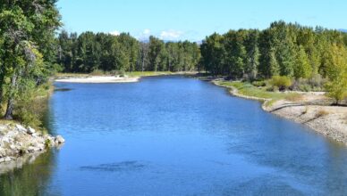
Montana Fish, Wildlife and Parks placed hoot-owl restrictions on the entire Jefferson River, part of the Beaverhead River, and on the Bitterroot River from Veteran’s …
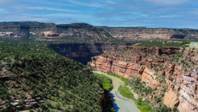
The Dolores River begins high among the San Miguel and Rico ranges, tumbling recklessly past long-defunct hardrock mines and flowing south-southwesterly to Dolores, Colorado. But …
The Deschutes was once one of the clearest rivers in the West. The once gin clear Deschutes River near Bend, Oregon, is now a pea-green …

I had a chance to fish the Dolores years ago, and it is a magical place. Two weeks pack rafting down the Dolores River, …

Ten rivers, ten solutions. These are America’s Most Endangered Rivers® of 2023: 1. Colorado River, Grand Canyon (Arizona): THREAT: Climate change, outdated water management 2. …
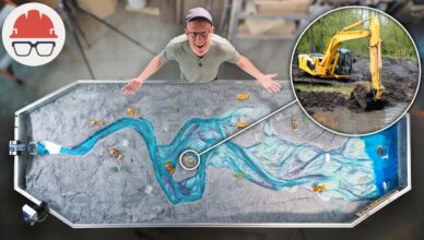
The unintended consequences of trying to change the course of rivers.