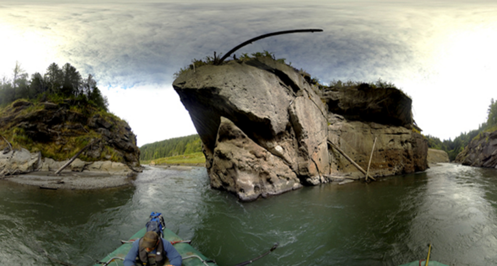
FishViews, a startup based in Wimberly, Texas, is adding new features to your summer “river float” plans—providing anglers, rafters, government agencies, and conservation organizations with interactive 360-degree digital maps of a growing list of American and worldwide waterways. Similar to the Google Street View platform you use to spy on your neighbors, the technology allows anglers to scout and navigate entire river systems from the comfort of a recliner. No PFDs required.
Company founder Scott Gallagher’s ambitious plan is to have 20,000 river miles (30x the length of the Yellowstone) mapped in the next two years. But with more than 3.5 million floatable river miles in the U.S., and FishViews having only captured 200 of them so far, the river ahead is a long one. Gallagher and partner Brian Footen hatched their business blueprint while working to improve aerial survey methods of salmon redds on Washington’s Green River. Instead of using expensive helicopters, they started flying drones and capturing some high-quality imagery. “We felt we could put these efforts toward something bigger,” Gallagher says.
Gallagher’s first paid project was mapping Texas’ lower Guadalupe River, with financial backing coming from Guadalupe Trout Unlimited Chapter, Texas Parks and Wildlife, and the local recreation district. Following the Guadalupe project, they tackled Illinois’ Chicago River, the San Marcos River in their home state of Texas, and Washington’s Elwha and South Fork Hoh Rivers in Olympic National Park. The latter two projects were funded by the U.S. Department of Interior.
LINK (via: The Drake)