
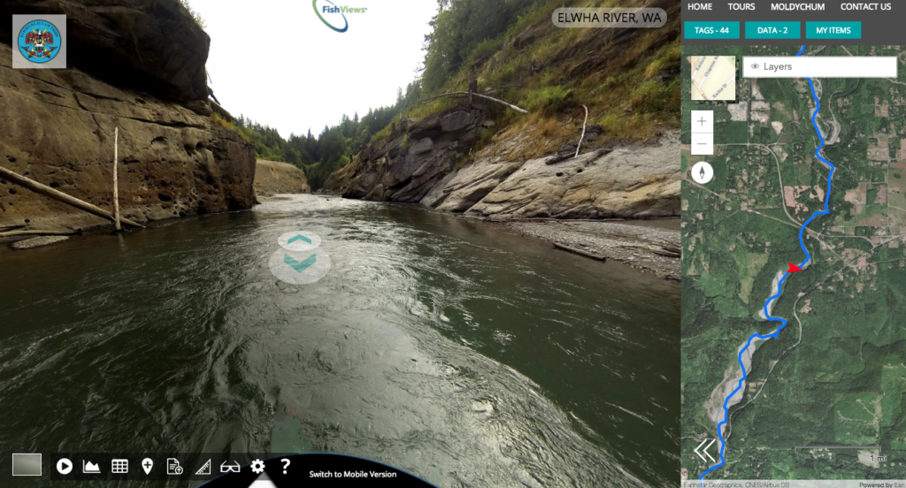
FishViews is a river version of Google Street View.
FishViews let you navigate rivers, coasts, and shores from your computer or mobile device – revolutionizing the way people gather, analyze and communicate location-based data from waterways. FishViews Internet of Waterways will enable Science, Conservation, and Recreation.
Since 2014, the company has mapped nearly 800 miles America’s rivers and streams.